How does the program work?
Fottur is a hiking and biking app that helps you discover new trails and routes, explore nature, and improve your physical and mental well-being.
With our app, hiking is as easy as ever. Here are some of the things you can do to plan a perfect route:
choose your activity type: hiking, road or mountain biking, trail running, backpacking or just walking;
choose from several trail maps: satellite, terrain, or USGS topo.
find an ideal route and start your adventure.
After the app loads the map, you will see your current location. Then, using the different map views, you can intuitively understand the terrain. You can use a bike and hike tracker to see your:
activity time - you can stop or pause the timer whenever you want;
elevation stats - cumulative elevation gain and loss as well as the elevation chart;
distance stats - track walking distance or the number of miles you cycled.
You can also save your hikes to repeat your favorite routes.
Here are some details on the main tabs in the app:
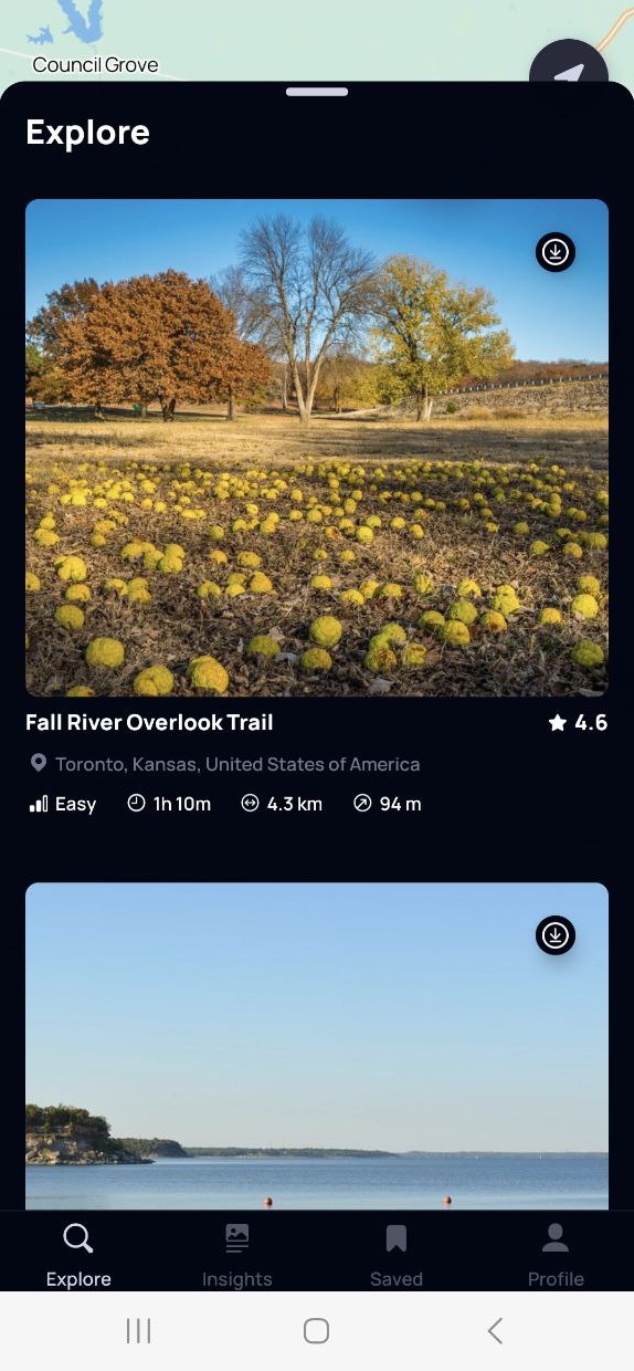
The “Explore” tab lets you see routes in your area. Any trail under “Explore” can be downloaded for offline use using the icon in the upper right corner of the preview picture.
You can also enhance your hiking experience with daily tips and facts available in the “Insights” tab. Learn about proper hydration, nutrition, essential pre-walk stretches, and much more. Fottur is not just about routes; it’s about enriching your outdoor activities with knowledge and safety.

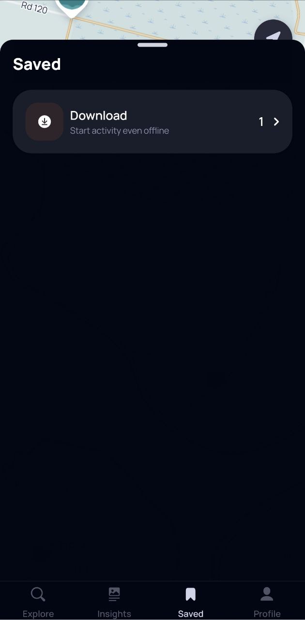
To access the routes you downloaded for offline use, go to the “Saved” tab.
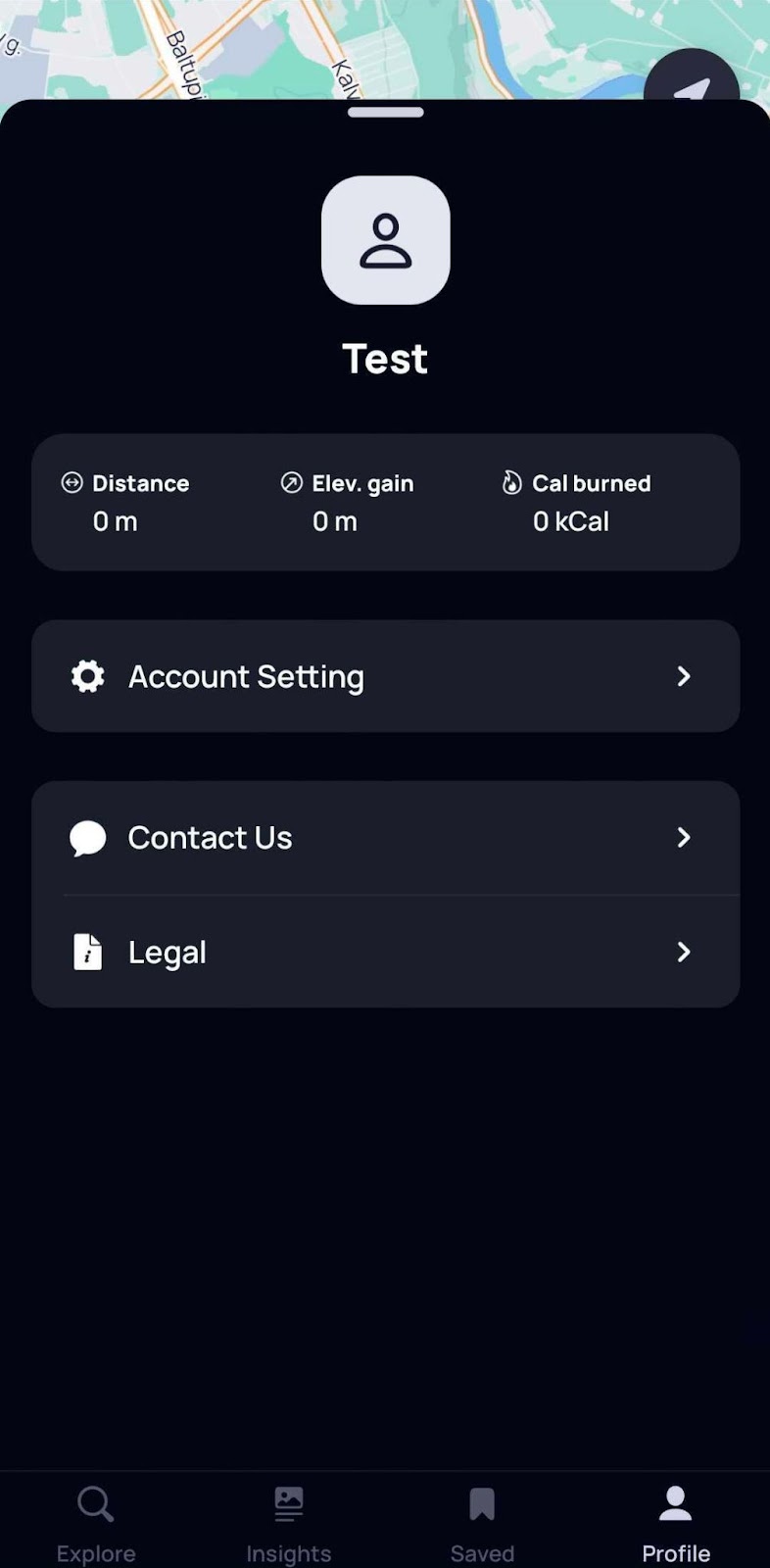
The “Profile” tab contains your Account Settings and the “Contact Us” button to reach out to our support team.